|
Engineering
Utilization
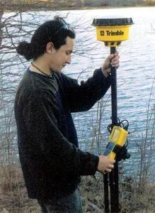
of the current technology in the field of remote sensing
and GPS (Global Positioning System) receivers integrated
with sonar bathymetric terrain modeling allows for exact
analysis of each site. Engineering within these computer
models streamlines the process and gives greater accuracy
to the logistical analysis, removing the uncertainty
of cost to benefit each location.
Our
remote sensing experts have developed special algorithms
to analyze the satellite data. Their analyses can uncover
new information and predict future aquatic events such
as the optimal time for plant control or the time of
future problems.
With
computer models, the "what if" analysis allows
for a more defined scope of work, answering on the fly,
and difficult changes that would normally derail a project
for weeks. Partnering these technologies, high volume
dredging with location accuracy gives a complete picture
to a normally open-ended cost associated with projects
of this size, that have involvement of both private
and public sector entities.
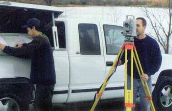
The
Aquatic Group has broad experience in hydrology, surveying,
advanced remote sensing, and environmental designs.
In addition, The Aquatic Group includes a group of experts
and university professors who solve difficult problems
related to water quality (biological and chemical) and
to water quantity (aquifers, watersheds, and siltations).
This group combines hundreds of years of experience
solving difficult problems with creative solutions.
Click
Here to View the Engineering Photogallery
|


.jpg)